South Sudan - Maban Refugee Locations in Upper Nile State (Map) - July 2025
| Document Type: |
Mapas y datos geográficos
|
| Document Language: |
English |
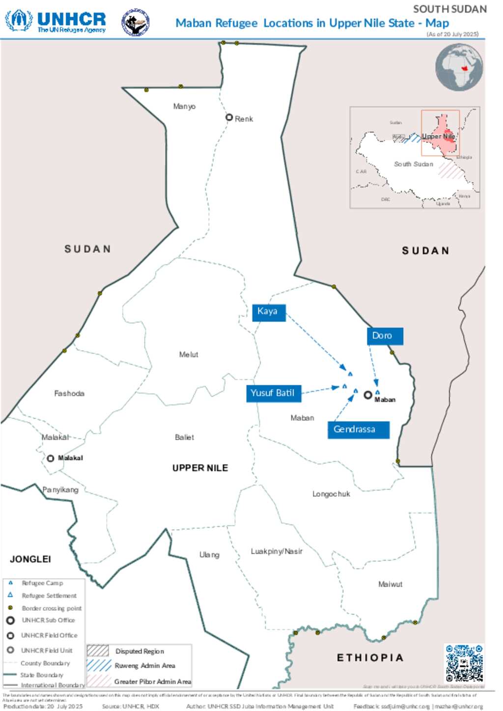
The Maban Refugee Locations Map is a humanitarian planning and monitoring tool developed by UNHCR to visualize the distribution of refugees in Upper Nile State, South Sudan, specifically within Maban County. This area hosts one of the largest concentrations of refugees in the country, primarily from Blue Nile State, Sudan, displaced by conflict and insecurity.
Sectors
-
 Other
Other
Locations
Download
(PDF, 1.98 MB)